
UK & Ireland Autumn 2026 Weather - NOW LIVE...
Autumn 2026 Singular Use/Commercial Weather Forecast 20.00
£14.00

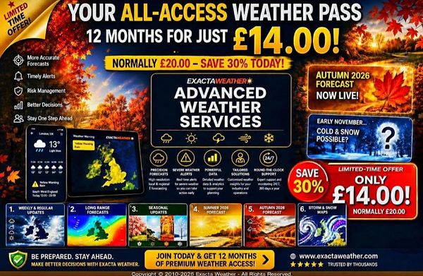
👉 Your Chance Below To Join Today With A 12-Month Early & All-Access Pass – Includes The New Autumn 2026 Forecast Access (September‐November):
⏳ Limited-Time Offer – Just £14.00 (Normally £20.00)
https://exactaweather.com/advanced-weather-service
https://exactaweather.com/uk-long-range-weather
Many thanks,
Exacta Weather
12 Month Pass - Advanced Weather Services
£14.00
The Exacta Weather members-only access section grants you full and significant early access to anything weather related to us and, more often than not, in advance of the standard information or limited weather forecasts you get from elsewhere and on your Weather Apps...
https://exactaweather.com/m/login
It will additionally grant you access to all the pages on our website in the image BELOW this text that are ongoing and password-protected...
If you become a subscriber to our significantly earlier forecasts, you can also expect lots of extra weather information that will never reach the public domain or leave our members-only section for less than a few pounds per month (less than 50p per week), or you can save an additional £4 with an annual pass in the link below (email invite sent out upon payment, and you will set your own chosen password as one of our subscribers)...
👉 Your Chance To Join Today With A 12-Month Early & All-Access Pass – Includes The New Autumn 2026 Forecast Access (September‐November):
⏳ Limited-Time Offer – Just £14.00 (Normally £20.00)
https://exactaweather.com/advanced-weather-service
https://exactaweather.com/uk-long-range-weather
Many thanks,
Exacta Weather
Or just £1.99 per month BELOW SUBSCRIBE buttons or save £4 with a 12-month pass for 20.00 ABOVE
If, at any point and in the unlikely event, you feel the service is becoming regularly inaccurate or not good value for money (less than 50p per week), then you can request to unsubscribe from the service, and we will refund you your money.
COPYRIGHT © 2010-2026 EXACTA WEATHER - ALL RIGHTS RESERVED.

12 Month Subscription
£49.99
You will receive the next 4 x seasonal forecasts for just £49.99 and SAVE £22...
(usually individually priced at £18.00 x 4)
This does NOT include the Advanced Weather Services 'subscription' below or old lifetime seasonal members (a separate and brand new service) + you get all seasonal reports for FREE:
Advanced Weather Service | Exacta Weather
Any previous lifetime long-range weather subscribers in non-receipt of of seasonal forecasts ONLY please contact us at E: exactaweather@gmail.com
Our Advanced Weather Services
